SEE THE FUTURE
Visualisation reimagined.
Automatic
Connected
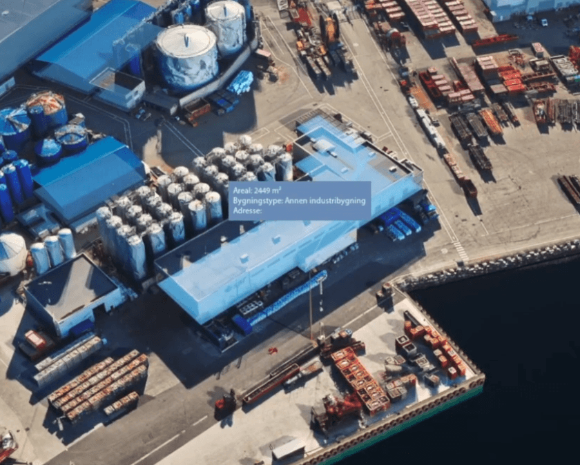
With live link to ArcGIS data, Geos always presents the latest version of the plan.
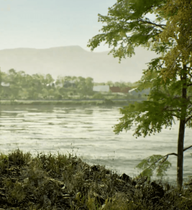
Lifelike
From vast seas to blades of grass, our scenery always provides a believable backdrop.
But how does it work?
Available in Norway through Geodata AS, Geos lets users select a location on a map and automatically generates a detailed 3D scene around it.
The high-detail core spans 4 km, with surrounding terrain extending up to 30 km for full visual context.
Your scene is rendered securely in the cloud in about 70 minutes. Once it’s ready, you can open it in your browser, no downloads or special hardware is necessary.
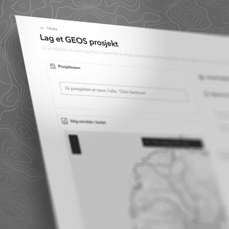
Seamlessly bring your 2D and 3D data into Geos to explore, present, and plan with confidence.


Custom Projects
Using the automated Geos pipeline as a starting point, we can help you design, produce and deliver just about any kind of interactive presentation you can think of.
About us
Arkwiz AS was founded in Ålesund, Norway, in 2021 with a clear ambition: to make future construction projects easier for everyone to understand. We believe in the power of visual communication, and that a shared source of truth leads to better decisions and better outcomes.
Our team is based in Norway and the Netherlands, and we are always looking for skilled and curious people to help us evolve Geos. If that sounds like you, please get in touch!